
Darling River Water Levels & Flow
Before heading out on the Darling River Run, check live water level and flow data at Wilcannia (Upper Darling), Menindee Lakes (Central Darling), Weir 32, and Burtundy (Lower Darling) via the Murray–Darling Basin Authority's river data portal. High flows can affect road access on the western banks, while very low levels reduce swimming and fishing opportunities.
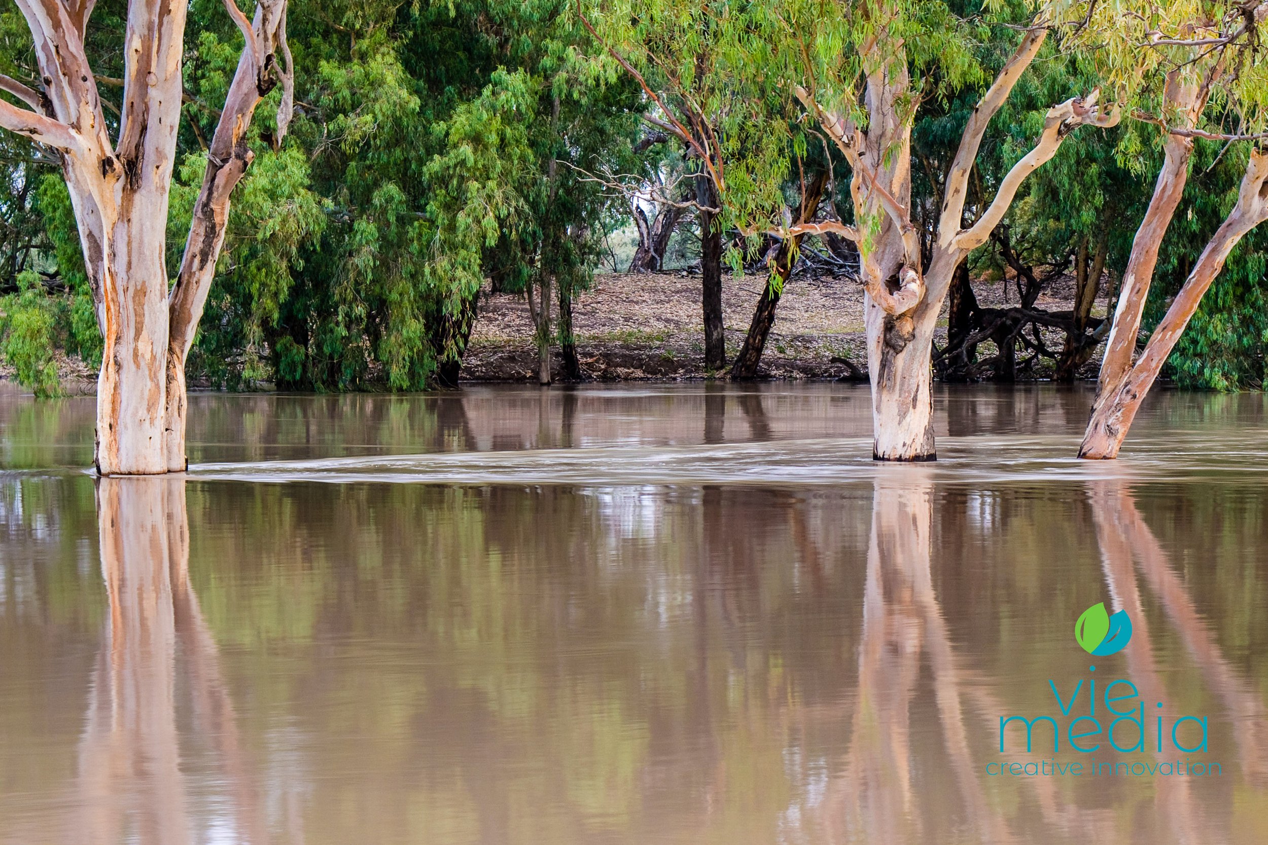
Heading out to the Darling River and wanting to know what the river is going to be like while travelling the Darling River Run? The following links will help.
While not every part of the river is covered by the following links, these will give you an idea of what is happening along the river in terms of water level, river flow, water temperature, and even salinity level.
Live Water Level Data
- Wilcannia (Upper Darling)
- Menindee Lakes (Central Darling)
- Weir 32 (Central Darling)
- Burtundy (Lower Darling)
For more detailed information on both the Darling River and the Barwon River, the following information is very helpful:
Darling River Water Level Data (Includes: Condamine–Culgoa Rivers | Warrego River | Paroo River | Bullo River | Barwon River | Darling River)
Quick Links
- About the Darling River
- Tributaries of the Darling River
- About the Murray–Darling Basin
- Murray River Tributaries
Remember, regardless of the water level of the Darling River, there are always great experiences along the Darling River Run. Wondering about road conditions along the Darling — we have you covered as well!
Frequently Asked Questions
Why should I check Darling River water levels before travelling?
High water levels on the Darling can inundate low-lying river access tracks and close roads on the western bank between stations. Very low levels during drought can mean reduced wildlife activity and less scenic river camping. Checking in advance helps you plan the best route and timing for your journey.
Where can I check Darling River water levels online?
The Murray–Darling Basin Authority's river data portal (riverdata.mdba.gov.au) provides live readings for Wilcannia (Upper Darling), Menindee Lakes and Weir 32 (Central Darling), and Burtundy (Lower Darling). The Bureau of Meteorology also publishes Darling River water level data covering the Barwon, Condamine–Culgoa, Warrego, and Paroo rivers.
How does the Darling River's boom-bust cycle affect travel?
The Darling is fed primarily by subtropical summer rains in Queensland and swings between flood and drought roughly every seven years. During flood periods, western bank roads may close. During drought, the river may be reduced to disconnected waterholes. Travelling after a good rain year — when the river is flowing but not flooding — offers the best experience.
Ready to Hit the River Road?
Water levels checked — now plan the full journey with the Darling River Run itinerary, road conditions guide, and camping spots along the route.